Summer Storm Season: How to Use Live Weather Radar for Outdoor Plans
By mid-July, the forecast on your phone says "scattered thunderstorms" almost every day. That phrase is technically honest and practically useless. It doesn't tell you whether your hike will be a washout or whether the rain will pass four kilometres east of your garden while you turn sausages in the sun. Live weather radar does. The trick is knowing what you're looking at, and when to look.
Why Summer Storms Behave Differently
Winter weather arrives in sheets — broad fronts that cover whole regions and take hours to pass. Summer is different. Heat builds near the ground, moist air rises, and storms form as individual cells, often only a few dozen kilometres across, that are born, mature and collapse in under an hour. Two neighbouring towns can have completely opposite afternoons.
This is why a percentage on a forecast is so misleading. A 40 percent chance of thunderstorms doesn't mean it will rain for 40 percent of the day. It usually means a decent chance that a storm will develop somewhere in the area, and that whether it lands on you is close to a coin flip. Radar replaces the coin flip with something you can actually see: a moving shape, with a direction, a speed and a size.
The practical consequence is that summer planning is a same-day sport. A forecast made three days out is useful for choosing between Saturday and Sunday. A radar loop checked forty minutes before you leave the house is what keeps you dry.
What You're Actually Looking At
Most radar displays show reflectivity: how much precipitation is in the air, colour-coded from light green through yellow and orange to red. Light green is drizzle or light rain. Yellow is where you start to notice it on a windscreen. Red and purple mean heavy downpours and possible hail. Those bright red cores are also where the lightning tends to be, and where winds can gust hard ahead of the rain.
A few features are worth seeking out in whatever app or site you use:
- Animation, not a still image. A single frame tells you where rain is. A loop of the last six to ten frames tells you where it's going and whether it's growing.
- Storm motion vectors. Many displays show a small arrow with the cell, giving speed and direction. Ten minutes of watching often beats any written forecast.
- Single-site radar alongside a national mosaic. The mosaic gives the big picture of where storms are forming. A single radar near you gives more detail on the shape and intensity of the cell overhead — at least within a reasonable distance of it.
- Lightning layers. Where available, these save you from guessing which red blob has an electrical bite.
The three questions to ask every time
Where is the rain now? Which way is it moving, and how fast? Is it strengthening or falling apart? If a cell is drifting towards you at a steady pace and getting redder, you have a real decision to make. If it's decaying, or tracking parallel to your route, you can relax and start the barbecue.
The Ten-Minute Check Before You Leave
Do this once, properly, rather than glancing at it twenty times while putting your boots on.
- Open the radar and run the animation two or three times, at full zoom-out and then zoomed to your route.
- Identify the nearest cells and the direction they're tracking.
- Estimate timing: if a storm is forty minutes away and moving towards you, your window is forty minutes, minus buffer.
- Look along the whole route, not just the trailhead — afternoon storms often build over high ground kilometres from where you parked.
- Decide your trigger now. "If the cell over the ridge is still growing when we reach the col, we turn back."
- Set a re-check time and stick to it, especially on longer outings.
Hikes, Rides and Long Routes
Distance changes the calculation. On a two-hour walk you can usually outwait or dodge a single cell; on a six-hour ridge traverse, you need a plan that assumes at least one storm will find you. Start earlier than feels natural — summer convection usually builds through the afternoon — and treat exposed ridgelines, summits, open meadows and lone trees as places not to be when thunder starts.
Water is the other hazard. Dry gullies, narrow canyons and slot sections can flood from rain that fell on ground you never see. If the radar shows a red core upstream of a canyon you're walking into, that's not a good day for it. On roads, never drive or wade through water covering the surface; you can't judge depth or whether the roadbed is still there.
For lightning, an enclosed building or a hard-topped vehicle is shelter; a picnic shelter, a tent or a tree is not. Keep the group spread out rather than huddled, and give it a good margin of time after the last thunder before heading back out — most guidance suggests waiting around half an hour.
Barbecues, Parties and Fixed-Time Events
Social plans are easier in one way, because you rarely need to be anywhere exposed. The risks are wind, water and the tent that becomes a kite. A storm's first gust often arrives before the rain and can lift an unsecured gazebo across a garden.
Weight the legs of any canopy, peg the guy lines, and take the sides off if strong wind is forecast — a frame with no fabric catches far less. Move speakers, laptops and anything with a plug away from the edge of cover, and keep a roll of bags or a box of zip-locks for phones. If the party is at your place, decide the indoor fallback in advance, and set a "make the call" hour, usually an hour before setup, so you're not debating it while carrying chairs in the rain.
For a wedding, a market stall or an outdoor screening with a fixed start time, watch the radar through the morning and again two hours before. It also helps to ask how guests are getting home. A storm arriving at the end of an evening is a bigger problem for people driving an hour than for neighbours walking home.
When the Radar Misleads You
Radar is a tool, not a promise, and it has blind spots worth knowing.
Close to the antenna it's sharp. Farther out, the beam climbs higher into the atmosphere, so at long range a display is showing what's happening a couple of kilometres above the ground, not at your feet. In hilly country, ridges can block the beam and hide a cell sitting in the next valley. On calm, stable days you'll sometimes see faint clutter that never produces a drop, and in very dry air rain can evaporate before it reaches the ground — the radar sees it, you don't. Apps also lag a little, and some smooth the animation in ways that make a dying storm look healthier than it is.
And remember what's missing: radar shows precipitation, not lightning. A storm can throw out strikes well before the heavy rain core reaches you, and the first flash is your cue, not the first spot on the windscreen.
The Habit That Saves the Afternoon
You don't need to become a meteorologist. You need three checks: once in the morning before committing to a plan, once ten minutes before leaving, and once the moment you hear thunder or see the sky to the west going dark. At each check, ask where the rain is, where it's going, and whether it's growing — then act on the answer you already agreed on. That small routine is what separates a cancelled afternoon from a well-timed one, and it costs less time than packing the car.
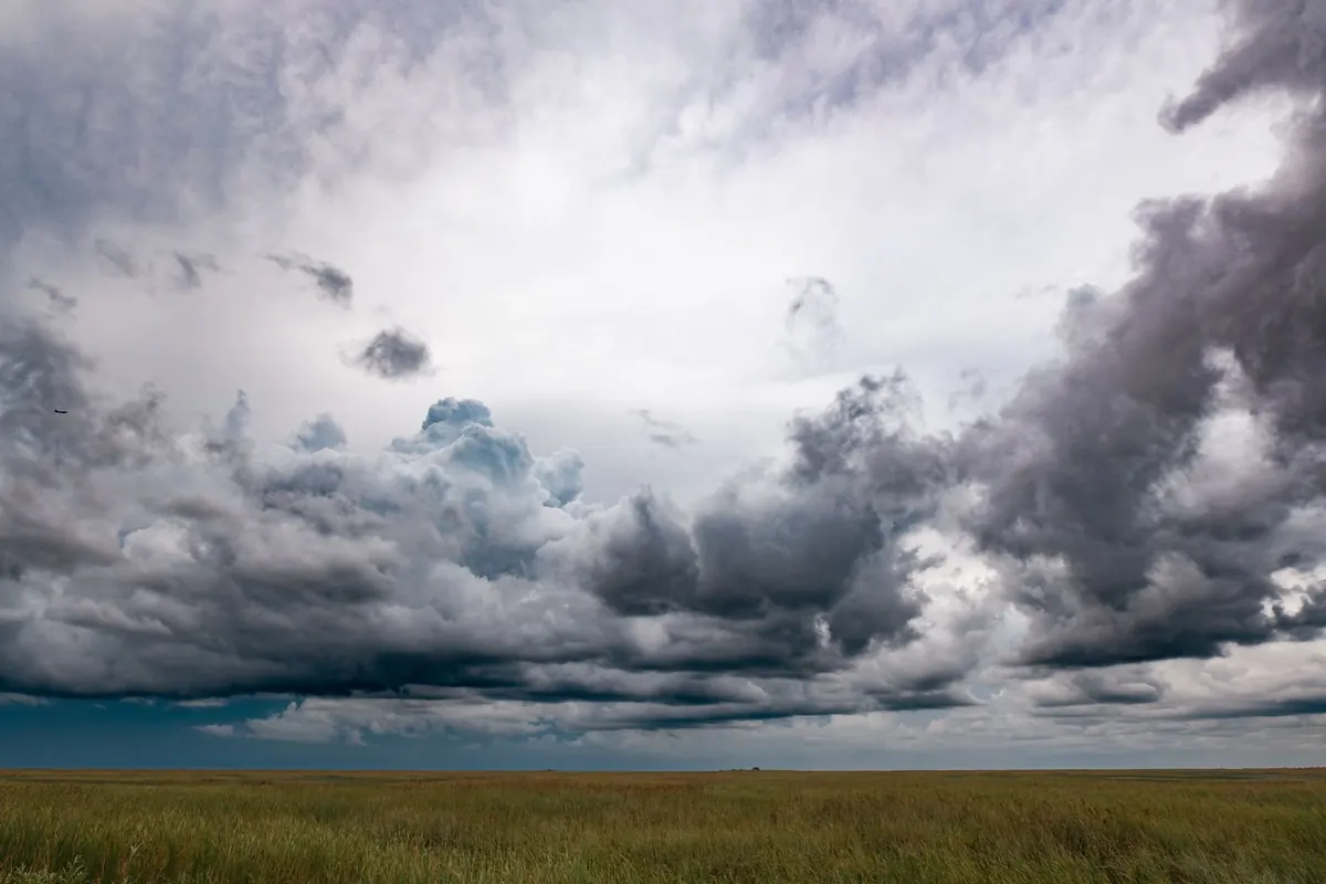
Photo: Matt W / Pexels